
Walk San Fernando Streets: Parcel to Archive
A useful address trail begins with a normalized situs address and a check of the incorporated city line. San Fernando is surrounded by Los Angeles, and the postal name can extend beyond the municipal boundary. Once the address is confirmed, the Los Angeles County Assessor Property Search can supply the AIN and parcel facts. The public web display suppresses owner names, so the next step is a specific-property or lawful counter inquiry, not an assumption that the occupant is visible.
The address trail then moves through distinct record keys. The AIN and legal description make the map and deed work repeatable. A voter file is a regulated channel, not a street browser. A directory's street section may show a listed occupant in a particular edition, but it is historical evidence tied to that publication date. The order below keeps title, parcel, civic, and household evidence from being blended.
- Check the address against San Fernando's city boundary and record the full situs form, including direction, suffix, unit, and ZIP.
- Run the address or AIN through the Los Angeles County Assessor Property Search; save the AIN, tract or lot, legal description, and visible event clues.
- Use the Assessor Map to pan along the street and capture each adjacent parcel separately. A corner lot or unit can otherwise disappear from a whole-street search.
- Request the specific ownership information allowed through the assessor channel, then carry the party names, years, and parcel description to the RR/CC recorder index.
- Search the deed chain by grantor, grantee, and recording year. Request the identified instrument by online, mail, or in-person copy channel.
- Use permitted voter information, city permit files, and LAPL street-address directories only for the question each source can answer.
If the purpose shifts from a whole street to one person, the San Fernando resident lookup workflow keeps same-name checks and record roles separate.
Map San Fernando Street Parcels
The strongest San Fernando address clue is often not a name. It is the AIN, a ten-digit parcel identifier displayed in a four-three-three pattern. Pair it with the situs, tract, lot, map reference, and legal description. These fields survive a spelling error or a changed street label better than a casual search term. A property card can show land and improvement values, building characteristics, roll year, and event history, but the card does not prove occupancy.
Four terms keep address research precise. A parcel is the mapped unit of land. A situs address is the physical location assessed. A plat is a recorded map that lays out lots, streets, or boundaries. A criss-cross directory is a reverse directory arranged by street and address rather than only by surname. Each term describes a different layer of the same address trail.
- AIN
- The Assessor Identification Number that ties parcel, tax, map, and later title research together.
- Situs address
- The physical site used for assessment; it is not automatically the owner's mailing address.
- Legal description
- The recorded tract, lot, block, or map language that can keep a deed search on the right land.
- Criss-cross directory
- A street-order or address-order section used to move from a place to a listed name in a particular edition.
The county's current assessor display is updated on a schedule and its parcel details are versioned. Preserve the date of access. A later value or event row may change without changing the underlying street, while a unit or corner-lot detail can change the search path.
San Fernando Records That Follow an Address
Address-keyed sources can be lined up, but they do not all describe residents. The coverage table shows what address records can reasonably pull from each office. Deeds identify title parties, permits identify a work record and its public participants, and old directory entries identify a listed subscriber or occupant at publication time.
| Address source | What It Shows | What It Cannot Prove | Access |
|---|---|---|---|
| Assessor Property Search | AIN, situs, legal geography, assessed characteristics and event clues | Online owner or resident identity | Free address or AIN search |
| Assessor Map and GIS-NET | Parcel lines, nearby AINs, tracts, and selected planning layers | Household composition | Free map browsing; GIS-NET has jurisdiction limits |
| RR/CC recorded deed | Grantor, grantee, recording date, document number, legal description | Current occupancy or every household member | In-person index; copies online, by mail, or at the counter |
| City permit or code file | Owner, applicant, contractor, work history when releasable | Every person at the address | Citizens Access, department contact, or city request |
| Street directory section | Listed occupant, business, or subscriber in an edition year | Unlisted people and a complete household | LAPL digital collection or library research |
| Voter file | Registration or precinct evidence for approved purposes | Ballot choice, protected voters, or a casual list of neighbors | Regulated request, not open web browsing |
The address trail works when the evidence type stays in view. A tax record can lead to a parcel. A deed can lead to a title party. A permit can lead to a public participant. A directory can lead to a listed household. None should be silently rewritten as proof that a person lives there now.
San Fernando Assessor Fields for Street Search
The Los Angeles County Assessor portal supports two useful starting modes. An AIN search works when a parcel number is already known. An address search uses a street number and name, with normalization for suffixes and directions. The map link is a separate way to browse. Search and clear controls are operational rather than record fields, so the valuable output is the parcel key and its visible inventory.
| Search by AIN | Text; use the Assessor Identification Number as the parcel key. |
|---|---|
| Search by Address | Text or autocomplete; enter the street number and name, then normalize suffix and direction. |
| Map search | Link or map browse; pan and click parcels to compare nearby AINs. |
| Search / clear | Result and reset controls; live labels may change as the portal is updated. |
A detailed parcel result may include land and improvement values, use and design codes, units, beds, baths, square footage, year built, tax-rate area, transfer-event tabs, and assessment history. Owner names and private mailing addresses remain suppressed on the public website. A street directory should say “parcel facts” until a separate lawful source supplies a person or title party.
For a current street walk, the Assessor Property Search and its map companion provide the repeatable key. Owner information should be requested for the specific property, not inferred from a broad person search.
San Fernando GIS Street Records
GIS-NET Public can query an address, AIN, or intersection, then identify, buffer, draw, measure, print, and inspect tract or parcel-map layers. It is useful when a street search needs neighboring parcel shapes, a subdivision boundary, or planning context. The Assessor Map remains the better first tool for incorporated San Fernando parcel browsing because LA County Planning describes GIS-NET as serving unincorporated county territory.
Use the city zoning map for incorporated-city zoning, and use GIS-NET for county islands or edge context. A practical block pass is address to parcel, parcel to AIN, AIN to legal description, and legal description to the proper custodian. The layers can show zoning or land use, but they do not turn a map into a resident directory.
The GIS-NET Public description documents the map tools and their planning scope. Its screenshot shows the kind of parcel and layer view that helps a street-by-street record walk.
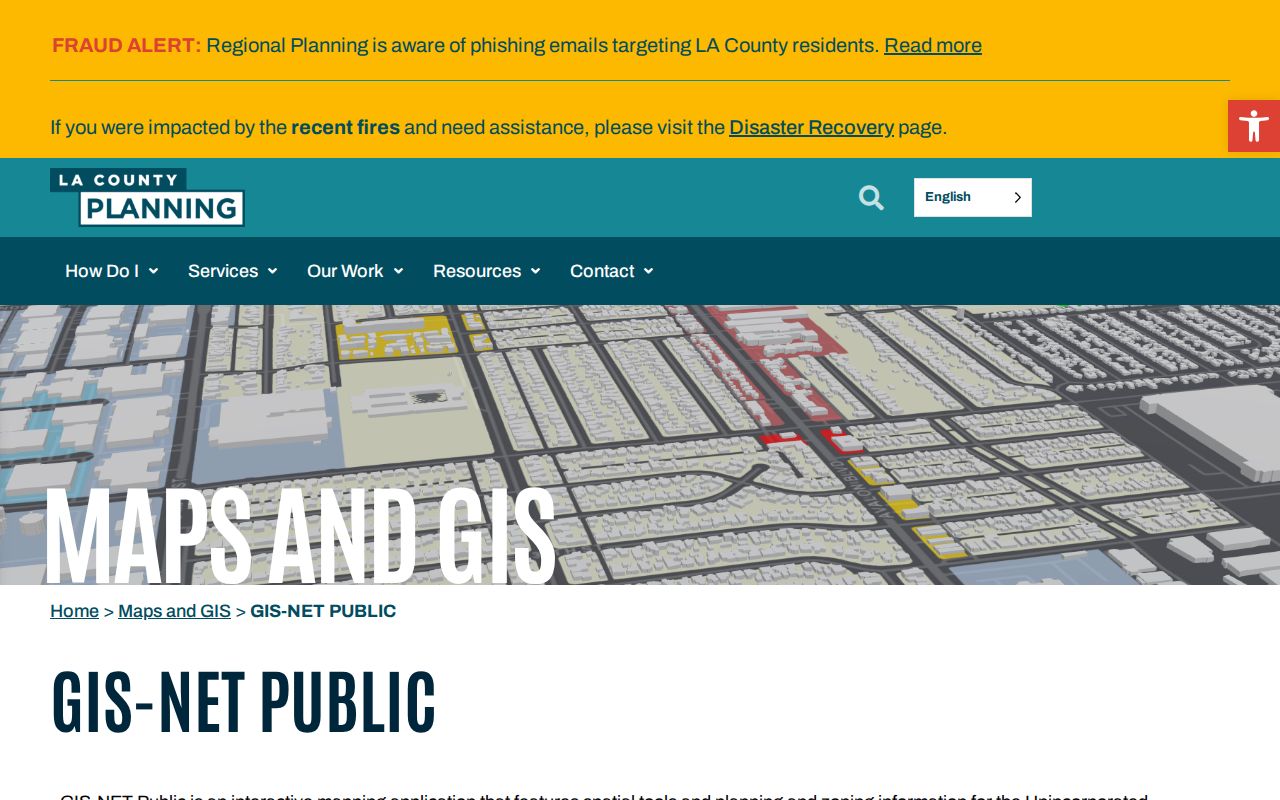
The GIS-NET view is most useful as a geography aid. Confirm the incorporated-city result with San Fernando's own planning source before describing zoning or a boundary as city authority.
San Fernando Address Records
Three address forms can appear in one San Fernando street directory search. Situs identifies the parcel location. A mailing address receives a tax notice or deed return and may be outside the city. A legal description identifies the land through tract, lot, block, or map language. Treating these as the same field creates false matches, especially when an owner, a trust, a business, and an occupant have different connections to one parcel.
| Situs | Where the assessed land sits; use it to locate the parcel and check the city line. |
|---|---|
| Owner mailing | Where notices or returns are sent; it does not prove where a person lives. |
| Legal description | Recorded land identity; carry it into the recorder search when a street name fails. |
| Postal city and ZIP | Mail-routing labels; they can cover Los Angeles communities outside incorporated San Fernando. |
The warning is concrete. A Vaughn Street address can use a San Fernando postal line and 91340 while the official location is CITY-LOS ANGELES. Verify the parcel jurisdiction before calling a person a San Fernando resident or calling a whole street a city street.
San Fernando Deed Records by AIN
Los Angeles County's Registrar-Recorder/County Clerk holds deeds, deeds of trust, reconveyances, liens, maps, and other recorded instruments. The county's real-estate index reaches from 1851 to the present, but there is no unrestricted internet name index. At Norwalk, 1851-1957 is on the lower level and 1958-present is on the second floor. Index searches are by party name and recording year, not by address or APN, and the office does not perform them by phone.
Start with the AIN, a known acquisition date, a likely party name, and any document reference visible in assessor events. Search the grantor and grantee roles, record every plausible document number and type, and inspect the deed. A grantor conveys an interest; a grantee receives one. A trustee, beneficiary, lien claimant, or trustor has a different role. Recording date and instrument date can also differ.
Once the document is identified, the county states that copies can be ordered online through its channel, by mail, or in person. Plain copies are $5 for the first page and $3 for each additional page; certified copies are $6 for the first page and $3 for each additional page. The disclosed index-search fee is $0.50 per name per year. Room 2207 is open Monday through Friday, 8 a.m. to 5 p.m.; mail goes to the Norwalk post-office box in the county instructions.
The RR/CC real-estate records instructions explain the in-person index and copy route. A deed can establish title parties and a legal description, not a complete street household.
San Fernando Permit Records by Address
San Fernando Community Development and Public Works add a local layer to the address chain. A permit or code file may name an owner, applicant, contractor, architect, or contact person. It is evidence that a work or case was tied to a parcel. It is not evidence that the named person lived there, and a missing online hit is not proof that no city record exists.
Public Works advertises a Citizens Access Portal for construction, non-construction, and service requests. The department lists (818) 898-1222, PWDispatch@SanFernando.gov, and City Hall hours of Monday through Thursday, 7:30 a.m. to 5:30 p.m., and Friday, 8 a.m. to 5 p.m. The interactive field schema was not exposed in the research capture, so a precise address, permit type, AIN, and date span are the safer request terms.
The San Fernando Public Works page shows the permit-counter route. Its screenshot belongs beside the address workflow because it demonstrates a city-held source, not because it supplies a resident list.
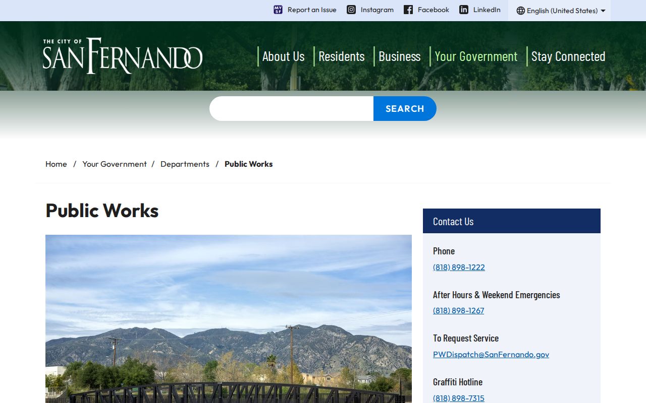
Use the permit counter to date a building change or identify a public applicant. Keep the result labeled as a permit record and move to a different source for household evidence.
Read San Fernando Streets in LAPL Directories
Historical street work starts when an address needs a person or a former street form. LAPL's digitized city and street-address directories cover 1875-1987, with edition-specific San Fernando coverage. Search the address or reverse section first when it exists, then move to the alphabetical name section for a spouse, occupation, or other notation. Save the title, edition date, image page, and OCR spelling before comparing years.
Directory entries describe publication-time information. They can omit unlisted telephone subscribers, household members, or a whole year. Pair them with deeds, census schedules, obituaries, newspapers, and Sanborn maps when an address trail needs a date or a building clue. The historical San Fernando city directory collection explains those volumes in full, while the street directory keeps the modern address chain in the foreground.
San Fernando Records and City Lines
San Fernando is a compact incorporated city surrounded by Los Angeles. The postal name reaches beyond the line, and nearby ZIPs have different relationships to city territory. 91342 is associated with Sylmar, 91345 with Mission Hills, and 91331 with Pacoima. A 91340 mailing line is strong postal evidence but not a complete jurisdiction check.
For every address in a whole-street pass, record the USPS form, the Assessor situs, the city result, and the AIN. If they disagree, stop the person search and resolve the parcel first. A ZIP-wide resident roster is not provided by the verified public assessor or voter portals, and the recorder does not offer address/APN index searching. Verification is the product of the street directory, not a promise of a downloadable list.
The USPS San Fernando location record is appropriate for delivery details. Municipal boundaries require parcel or city sources.
Where a San Fernando Street Directory Stops
A street directory cannot show every renter, child, guest, unregistered adult, or household relationship. Utility customer data is not a public neighbor roster. DMV personal data is restricted under the federal Driver's Privacy Protection Act, and California voter information has its own purpose and confidentiality limits. Safe at Home participants may use a confidential voter address. Protected files, sealed court matters, and redacted city records remain outside a casual search.
A deed identifies title parties, not the people who occupy a dwelling. A tax payment identifies parcel activity, not the payer's home. A mailing address identifies a delivery destination, not a current sleeping place. These limits are not flaws in the search; they keep each record tied to the evidence it actually contains.
The safest result has a source, date, jurisdiction, and stated limit. That is how an address becomes a defensible record trail without being stretched into a list of people.